Satellite-driven model provides 'more realistic and reliable' predictions of sand and dust storm emissions
The technology used to predict sand and dust storm (SDS) severity has for decades systematically overestimated when and where sediment is transported across Earth's surface, a new study shows. Existing models, which draw on satellite, surface, Light Detection and Ranging (LiDAR) and weather data, ma...
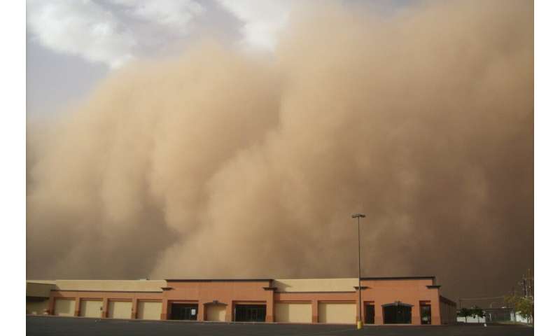
Image: Phys.org
The technology used to predict sand and dust storm (SDS) severity has for decades systematically overestimated when and where sediment is transported across Earth's surface, a new study shows. Existing models, which draw on satellite, surface, Light Detection and Ranging (LiDAR) and weather data, make emission predictions and underpin early warning systems to try and reduce the health and climate impacts of SDS events globally.
Originally published at Phys.org


